Ulus District
General Information
It is estimated that the history of the nation dates back to 3000 BC. There were migrations to the region between 800 and 2000 BC.
Hittites They have lived in this region for a long time. Nation in the time of Anatolian Seljuks 'Candaroğulları Principality'It remained within the borders of .
Geographical Structure and Vegetation of the Nation
The district generally has rugged terrain. The main vegetation of the region is forest. Its average altitude above sea level is 200 meters and its surface area is 713 km².
It is a district of Bartın, surrounded by nature, where 4000 people live, whose tourism aspect has not yet been discovered.
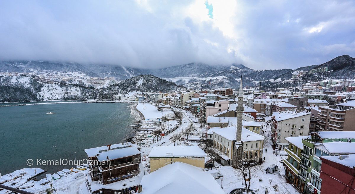
Winter Views from Bartın Ulus and Ulukaya Village
(Winter Photos: Gülbahar Yıldırım)
Ulukaya Waterfall
It is a waterfall located within the borders of Küre Mountains National Park in Ulus. Ulus – Pınarbaşı your way 17th kmIt is in . The waterfall, formed by water coming out of a rock hole in Ulu-kaya Village, near Drahna Canyon, flows from a height of approximately 15 meters. According to legend, the person who tastes the waterfall forgets the pain of love.
How to Get to Ulukaya Waterfall?
The journey from Amasra to Ulukaya Waterfall takes approximately 1.5 hours. If you come to Amasra with its Ulus waterfall, forests, recreation areas and other natural beauties, it is a district you should not leave without seeing.
Transportation from Ankara to Ulus
It takes approximately 4 hours to reach Ulukaya waterfall from Ankara. After your Ulus – Ulukaya trip, you can easily go to Amasra.


Bartın Amasra, the village where we entered the Globe Mountains National Park, is a wonderful place with waterfalls, aesthetic tree houses and friendly people. Thanks to you, we had the opportunity to see its surroundings. I would be glad if you could give information about the accommodation, hotels and hostels in the nation.